Survey Mapping – Accurate, Reliable & High-Precision Mapping Solutions
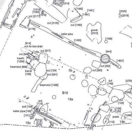
Survey mapping is the process of collecting, analyzing, and presenting geographical data to create detailed maps and layouts of land, infrastructure, and terrain features. It plays a critical role in urban planning, construction, land development, agriculture, mining, and infrastructure projects. Accurate survey mapping ensures informed decision-making, legal compliance, and efficient project execution.
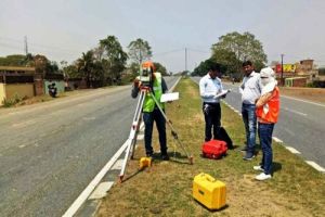
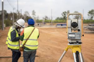
At Lucknow Land Surveyors, we provide professional survey mapping services using advanced tools such as Total Stations, DGPS, LiDAR, UAV (Drone) Mapping, and GIS software. Our experienced surveyors deliver high-precision maps for a wide range of applications, including:
- Topographic surveys
- Land boundary and cadastral mapping
- Contour and elevation mapping
- Utility and infrastructure mapping
- Route alignment for roads, railways, and pipelines
- Site layout and planning maps
Whether you are a government agency, construction company, real estate developer, or engineering consultant, our survey mapping solutions are designed to meet your specific project requirements with accuracy and reliability.
Looking for "Survey Mapping" ?
Explore More Services

