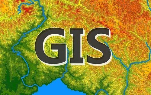
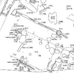
GIS Mapping (Geographic Information System Mapping)** is a modern technology that captures, stores, analyzes, and visualizes spatial data to create highly accurate maps and models. It integrates geographic coordinates with descriptive information, making it an essential tool for urban planning, land management, infrastructure development, environmental monitoring, and resource management.
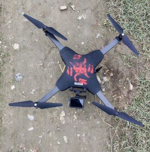
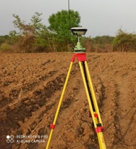
Using advanced tools like DGPS, Remote Sensing, Drones, and Satellite Imagery, GIS mapping provides detailed layers of information such as terrain features, land use patterns, utilities, roads, water bodies, and vegetation. These layers can be analyzed together to support decision-making for government bodies, engineers, developers, and researchers.
Key applications of GIS mapping include:
- Urban Planning & Smart Cities: Designing roads, utilities, and public infrastructure.
- Land & Property Management: Maintaining digital land records, boundary mapping, and ownership clarity.
- Environmental Monitoring: Tracking deforestation, pollution, and climate change impacts.
- Infrastructure Projects: Supporting roadways, pipelines, power lines, and railways.
- Disaster Management: Mapping flood zones, earthquake-prone areas, and emergency response planning.
griculture & Irrigation: Soil analysis, crop monitoring, and water distribution planning.
GIS mapping is widely used by government agencies, surveyors, planners, engineers, and private organizations for its accuracy and efficiency. It not only reduces manual errors but also helps in predictive analysis, spatial planning, and real-time monitoring.
Looking for "Gis Mapping Service" ?
Explore More Services


