
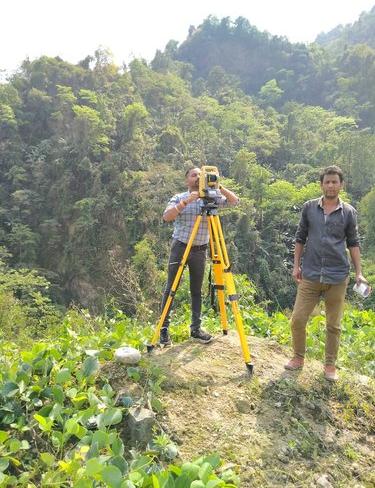

A Digital Land Surveyor uses advanced tools such as GPS, DGPS, Total Stations, and drones to deliver precise mapping, boundary marking, and topographic surveys. Digital land surveying ensures high accuracy, faster results, and reliable data for construction, property, and infrastructure projects.


