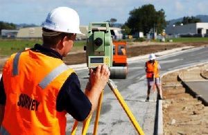
Industrial Land Surveyor – Precision Surveys for Industrial Development
An Industrial Land Surveyor specializes in surveying land designated for factories, warehouses, manufacturing units, and large-scale industrial projects. Unlike standard property surveys, industrial land surveying demands a high level of precision to accommodate heavy infrastructure, machinery setups, transportation access, utility lines, and strict compliance with government regulations.
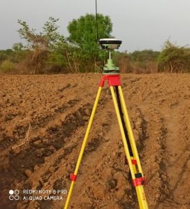
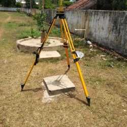
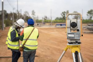
Using advanced technology such as **Total Station, GPS/DGPS, Drone Surveying, GIS Mapping, and AutoCAD Designing**, an industrial land surveyor provides accurate data on land boundaries, topography, elevation, and soil levels. This data is crucial for planning site layouts, designing internal roads, setting up drainage systems, and ensuring proper land utilization.
Key Services Offered by Industrial Land Surveyors:
- Boundary & Demarcation Surveys: Establishing accurate legal property lines to prevent disputes.
- Topographic & Contour Surveys: Mapping terrain details for effective site planning and infrastructure design.
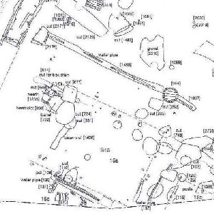
- Layout Designing: Preparing CAD-based layouts for factory plots, utility zones, parking areas, and internal access roads.
- Pipeline & Utility Surveys: Marking the alignment of water, electricity, and gas pipelines.
- Compliance & Approvals: Supporting documentation for industrial authorities, SEZs, and government approvals.
Looking for "Industrial Land Surveyor" ?
Explore More Services


