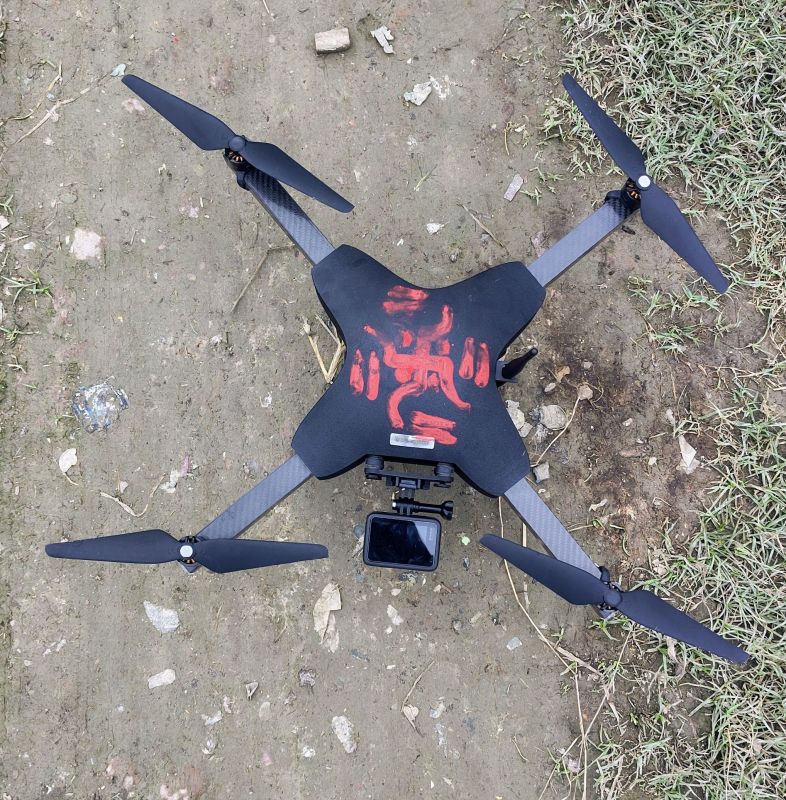
A drone surveyor specializes in using advanced unmanned aerial vehicles (UAVs) to capture high-resolution images and geospatial data for land surveying, construction, agriculture, mining, and infrastructure projects. Drone surveying offers a modern alternative to traditional surveying methods, delivering precise and reliable data in a fraction of the time and cost.
Using GPS-enabled drones equipped with LiDAR, photogrammetry, and thermal imaging, drone surveyors can collect real-time topographic and volumetric data across vast or hard-to-reach areas. This allows for 3D mapping, contour creation, orthomosaic imaging, and point cloud generation with accuracy down to a few centimeters.
Drone surveyor services are widely used in:
- Construction site planning & monitoring
- Land development & real estate
- Mining volume calculations
- Agricultural crop analysis
- Environmental impact assessments
Looking for "Drone Survey" ?
Explore More Services


