

Topographical Survey – Detailed Mapping of Land Features
A Topographical Survey is a specialized land survey that records natural and man-made features of terrain, including elevations, contours, trees, roads, buildings, utilities, water bodies, and boundaries. It provides a detailed map of the existing ground surface, essential for planning and design of construction and infrastructure projects.
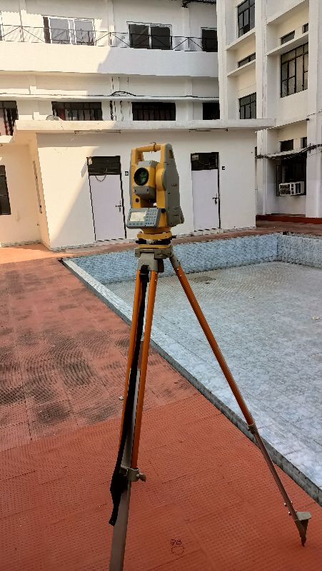
Using instruments such as otal Station, DGPS, Auto Level, Drone Mapping, and GIS technology, surveyors collect precise data points across the site. The data is then processed into topographic maps, contour drawings, and 3D models, forming the foundation for project decision-making.
Key Applications of Topographical Survey:
- Urban Planning & Real Estate: Mapping plots, colonies, and housing layouts.
- Roads, Bridges & Highways: Designing alignment and drainage based on terrain levels.
- Water Resource Projects: Surveying canals, ponds, lakes, and catchment areas.
- Industrial & Infrastructure Development: Planning factories, power plants, and utilities.
- Environmental & Landscape Design: Recording vegetation, slopes, and ecological features.
A professional topographical survey ensures accurate, detailed, and compliant survey data, helping avoid construction errors, reduce costs, obtain legal approvals, and support dispute resolution.


