Existing Surveyor – Accurate Documentation of Developed Sites
An Existing Surveyor specializes in conducting surveys of already developed or partially developed land, buildings, and infrastructure. Unlike preliminary land surveys, an existing survey focuses on documenting current site conditions, boundaries, and structures to provide accurate records for renovation, redevelopment, or compliance purposes. This type of survey is crucial for architects, engineers, property developers, and government authorities who require reliable data about the present state of a property.
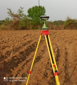
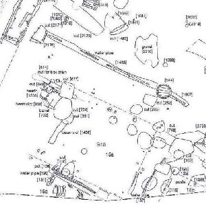
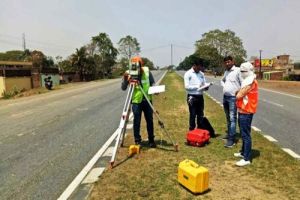
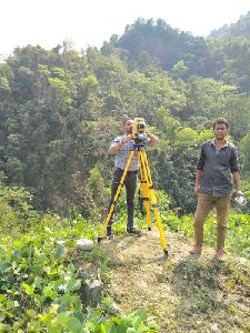
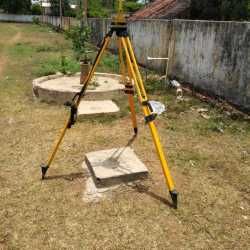
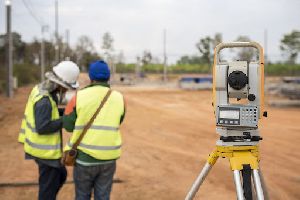
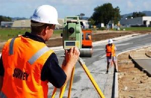
Using modern instruments like Total Station, GPS/DGPS, Auto Levels, Drones, and GIS mapping tools, existing surveyors capture detailed measurements of land, roads, utilities, drainage systems, and built-up areas. The collcted data is then converted into CAD drawings, contour maps, or digital 3D models, which are used for planning extensions, upgrades, or legal verifications.
Key Applications of Existing Surveys:
Property Documentation: Verifying current boundaries and building dimensions.
Renovation & Redevelopment: Providing base maps for architects and engineers to plan modifications.
Infrastructure Upgrades: Surveying roads, pipelines, and electrical networks before expansion.
Legal & Compliance Needs: Preparing accurate reports for government approvals and dispute resolution.
As-Built Drawings: Recording completed construction for project handover and records.
An Existing Surveyor works closely with real estate developers, construction companies, and municipal bodiesto ensure that projects are based on updated site information. Their surveys help prevent costly errors, ensure legal compliance, and provide clarity for future planning**.
Looking for "Existing Surveyor" ?
Explore More Services


