Development Surveyor – Supporting Sustainable Urban & Rural Growth
A Development Surveyor plays a crucial role in shaping urban and rural development by providing accurate land measurement, mapping, and planning services for residential, commercial, and infrastructure projects. Their expertise ensures that every project complies with egal regulations, optimizes land utilization, and supports long-term sustainability**.
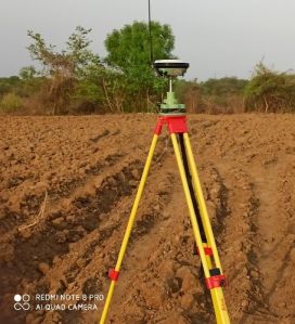
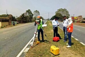
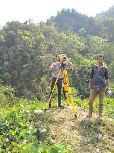
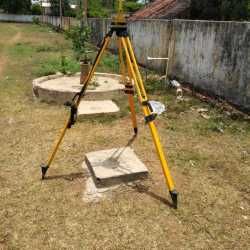
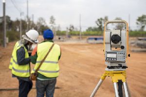
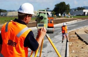
Using advanced tools such as Total Station, GPS/DGPS, Drone Surveys, GIS Mapping, and AutoCAD Designing, development surveyors deliver precise data required for land acquisition, plot division, layout planning, and construction alignment. This data forms the foundation for approvals from development authorities, municipalities, and government bodies, ensuring smooth project execution.
Key Responsibilities:
Land Assessment & Demarcation: Identifying exact property boundaries to prevent disputes.
Topographic & Contour Surveys:Mapping terrain details for accurate site planning and infrastructure design.
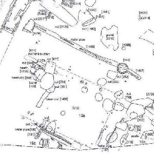
Layout Design & Planning: Preparing CAD-based layouts for housing colonies, townships, industrial parks, and commercial complexes.
Infrastructure Support:Conducting surveys for roads, drainage systems, pipelines, and utilities within projects.
Legal & Compliance Assistance: Facilitating approvals from local development authorities (e.g., LDA) and ensuring adherence to RERA norms.
Looking for "Development Surveyor" ?
Explore More Services


